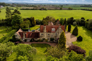
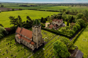
With properties advertised using aerial drone photographs selling up to 68% faster, and receiving 188% more online views, it’s no surprise that 83% of agents prefer using aerial photographs of properties for sale or rent. Our highly experienced commercial drone pilots have over 20 years’ photography experience, and can produce eye-catching images of homes and gardens that will help sell properties faster.

The process of taking aerial photographs of the property usually takes between 30-60 minutes. After this the images will be professionally digitally edited using Adobe Lightroom™ and Adobe Photoshop™ to ensure you receive the very best possible portraits. You will receive a minimum of 5 full-colour, expertly edited images at 300dpi, although usually the number of images is much higher than this.
Once you have booked your aerial portrait we will run a risk assessment of the property, including any nearby hazards, and will create a flight plan. Although we will book a day and time with you, it is important to be aware that weather conditions can be difficult to predict accurately, and if the winds are too strong, or it’s raining, we may need to postpone the shoot.
Our drone pilots are fully qualified and licensed by the CAA (with A2 CoC) and £1 million commercial insurance compliant with EC 785/2004, so you know you’re in safe hands. We also have over 20 years’ award winning photography experience as well as over a decade’s professional expertise with using Adobe Creative™ tools.
We can provide discounts for exclusive contracts where we provide all of the aerial drone photographs of properties for an agency, with a minimum number of properties per month. Please use our contact form to enquire about real estate discounts.
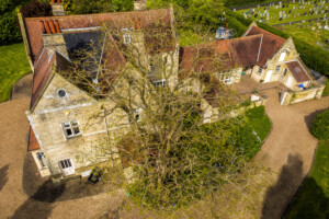
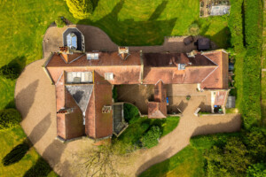
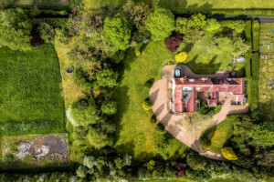
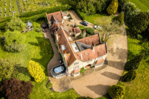
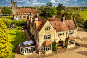
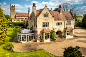
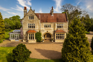
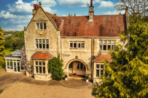
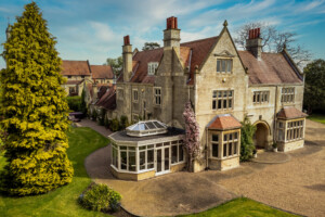
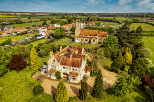
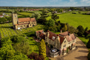
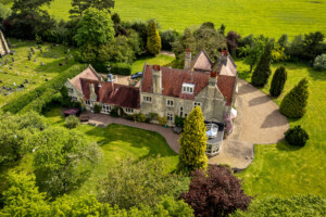
Example Portfolio – The Old Vicarage, Newport
We were recently commissioned to take a set of aerial photographs of the Old Vicarage in Newport, East Yorkshire. This project resulted in 14 images which you can explore below. This is typical of the quality and style of the images you will receive.


